Can an app plan my passage and pick the best time to leave?
Aid to navigation only. Use official charts and notices; the skipper is responsible. Safety at sea
Yes. Shimbiri plans the route for your boat using its own polars, checks it against the weather, the tides and the coastline, and compares departure times to find the one that suits the passage.
It blends several forecast models and tells you when they disagree, so you can see how sure the forecast is before you commit. Shimbiri planned her own Bass Strait crossing this way in September 2026.
What it does
- Routes built on your boat’s own polars
- Several route options, side by side
- Departure times compared, with tide gates for bars and channels
- Every route checked against land and shallow water
- Forecast models blended, with a flag when they disagree
- A GO, CAUTION or NO-GO read on the passage
The passage planner on the web is coming soon: a route with forecast wind and sea, departure windows and tide gates for bars, tuned to your boat.
See what’s coming →Seen at sea
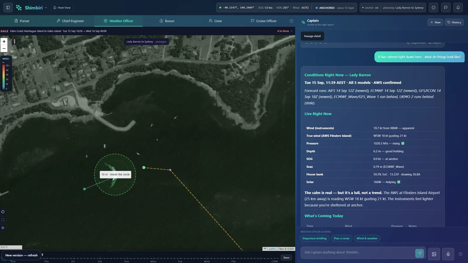
Crossing Bass Strait from Flinders Island to the mainland, September 2026. At anchor in Lady Barron on 14 September, Ben asked when was the best time to cross. The Weather Officer compared six departure times across five forecast models and the Bureau of Meteorology warnings, and picked the one slot that no other beat on both gusts and seas.
What you need
Plans from a phone or PC. Sending a route to the chartplotter needs the Chief Engineer pack aboard.